File:Map-tepecetlan.png
File on RTGame Wiki

Size of this preview: 587 × 599 pixels. Other resolution: 774 × 790 pixels.
Original file (774 × 790 pixels, file size: 498 KB, MIME type: image/png)
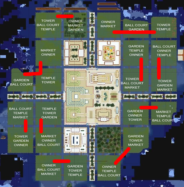
Map of Tepēcetlan, showing the layout of districts.
File history
Click on a date/time to view the file as it appeared at that time.
| Date/Time | Thumbnail | Dimensions | User | Comment | |
|---|---|---|---|---|---|
| current | 23:16, 6 March 2022 | | 774 × 790 (498 KB) | SeñorKevin #8488 (talk | contribs) |
You cannot overwrite this file.
File usage
The following page uses this file: